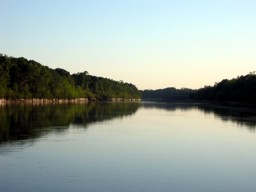
The Mobile District's Operations Division regularly performs hydrographic surveys to monitor navigation conditions of the federally authorized navigation channels maintained by the District. This data is compiled into Channel Condition Surveys, which are used as decision-making tools for channel maintenance operations.
Note: Because channel conditions can change rapidly, these hydrographic surveys may or may not be entirely accurate when accessed. Therefore, they are to be used for informational purposes only. Do not use them as navigational aids.