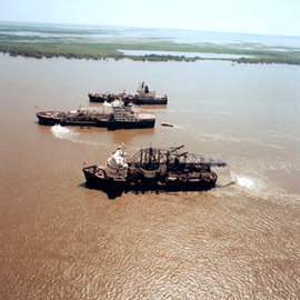
 CE-Dredge is a program to assist with the planning, monitoring, and management of USACE dredging operations. Under the program, custom GIS and database applications support data access for dredging management. The purpose of this website is to do several things:
- Capitalize on eGIS capabilities to provide a national database structure for access to dredging information and data relevant to analysis of dredging operations
- Provide standardized applications to improve the planning and management of projects
- Improve the means for forecasting budgets and schedules in addition to future volumes, capacities, and needs for dredging and disposal facilities
- Improve environmental analysis capabilities relevant to dredging operations: delineate sea grass beds, bird islands, and marsh creation areas; and enhance environmental compliance monitoring and assessments
- Facilitate capture and maintenance of institutional knowledge in a database
- Reduce duplication of manual data entry
- Provide the ability to respond to data requests quickly